Duration: 58 Days | Region: Karakoram Range, Baltistan | Altitude: 8,068m (26,470 ft)
Organized by PakJourney – Experts in High-Altitude Expeditions
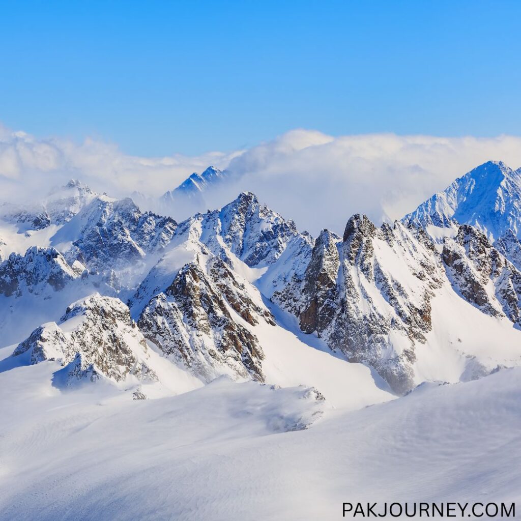
Overview
Gasherbrum I (8,068m), also known as Hidden Peak, is the 11th highest mountain in the world and the third-highest peak in Pakistan. It lies deep within the Karakoram Range, nestled near Concordia along the Baltoro Glacier, surrounded by other giants like K2, Broad Peak, and Gasherbrum II.
The name “Gasherbrum” means “Beautiful Wall” in Balti, perfectly reflecting the mountain’s towering icy flanks. Gasherbrum I was first attempted in 1936 by a French team, but the first successful ascent was made in 1958 by an American expedition led by Nicholas Clinch, with climbers Andy Kaufman and Pete Schoening making it to the summit.
Though technically more challenging than Gasherbrum II, Gasherbrum I is a dream climb for experienced high-altitude alpinists due to its remote setting, dramatic views, and formidable route.
Why Choose PakJourney for Gasherbrum I?
- Decades of experience with 8000m expeditions
- Complete base camp and high-altitude logistics
- Expert local guides and porters
- Pre-acclimatization and risk-managed approach
- Immersive journey through Shigar Valley, Baltoro Glacier, and Concordia
Expedition Itinerary
Phase 1: Arrival & Trek to Base Camp
- Day 1: Arrival in Islamabad
- Day 2: Flight to Skardu (weather permitting), or drive to Chilas via Karakoram Highway
- Day 3: If no flight, drive from Chilas to Skardu
- Day 4: Free day in Skardu for preparations and final checks
- Day 5: Drive by jeep to Askole (gateway to Baltoro Glacier)
- Day 6: Trek to Jhola
- Day 7: Trek to Paiyu
- Day 8: Rest/acclimatization day at Paiyu
- Day 9: Trek to Urdukas
- Day 10: Trek to Goro II
- Day 11: Trek to Concordia, with majestic views of K2, Broad Peak, and Gashbrums
- Day 12: Trek to Gasherbrum Base Camp (5,000m+)
Phase 2: Climbing Gasherbrum I
- Days 13–48:
- Acclimatization climbs and rotations to Camp I (~6000m), Camp II (~6500m), Camp III (~7100m)
- Final summit attempt via the Japanese Couloir Route or American Route, depending on conditions
- Contingency for weather and altitude adjustment
Phase 3: Return Journey
- Days 49–56: Trek back from Base Camp to Askole, return to Skardu by jeep
- Day 57: Drive to Chilas
- Day 58: Drive to Islamabad – End of expedition
Key Expedition Information
| Details | Information |
|---|---|
| Altitude | 8,068m / 26,470ft |
| Route | South West Ridge / Japanese Couloir |
| Region | Baltistan – Karakoram Range |
| Best Season | June – August |
| Grade | Very Difficult / Technical |
| Duration | 58 Days |
| Group Size | 2–12 climbers |
What’s Included
- Government climbing permit & liaison officer
- Domestic flights (Islamabad–Skardu return if available)
- All transfers, hotels, and road transport
- Full Base Camp logistics, including mess tent, cooks, food, toilet, and sleeping tents
- All porterage, cargo handling, and customs clearance
- Support for high-altitude porters and equipment ferrying
- Satellite phone access for emergency use
- Weather forecast support & coordination with rescue teams
- Debriefing at Ministry of Tourism
Climber Requirements
- Proven experience of 7000m+ climbs
- Mastery in ice, glacier, and mixed climbing techniques
- High-altitude physical fitness and ability to perform in extreme conditions
- Travel and rescue insurance mandatory
- Personal climbing gear, sleeping bag, crampons, etc. must be brought